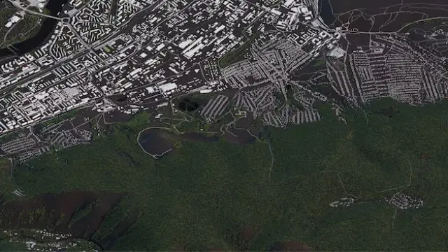
GIS : Remote Sensing in ArcGIS
Updated study materials |* Free Certificate *|* Designed by Industry Experts *| Instant Access | 24/7 Support
Course Line
Summary
- Reed Courses Certificate of Completion - Free
- Tutor is available to students
Add to basket or enquire
Overview
GIS : Remote Sensing in ArcGIS
Do you want to start a career in the GIS : Remote Sensing in ArcGIS sector or learn more about it?
This GIS : Remote Sensing in ArcGIS course is designed by industry experts so that it assists you to have a better understanding of GIS : Remote Sensing in ArcGIS.
This GIS : Remote Sensing in ArcGIS training has covered all the latest topics to keep you better prepared for your GIS : Remote Sensing in ArcGIS profession.
Enroll now for a successful GIS : Remote Sensing in ArcGIS career!
This GIS : Remote Sensing in ArcGIS training offers
- Free Time Management Course
Curriculum
-
Module 1: Remote sensing, satellite images, spectral band’s introduction 04:00
-
Module 2: Layers stacking satellite images 03:00
-
Module 3: Georeferencing satellite images 05:00
-
Module 4: Introduction to geoprocessing raster tools 08:00
-
Module 5: Raster Analysis Functions 02:00
-
Module 6: Georeferencing toposheet 04:00
-
Module 7: Site suitability using weighted overlay analysis – part 1 05:00
-
Module 8: Site suitability using weighted overlay analysis – part 2 08:00
-
Module 9: Watershed Delineation from DEM 05:00
-
Module 10: Unsupervised classification 03:00
Course media
Description
This GIS : Remote Sensing in ArcGIS course is ideal for you if you want to learn more about GIS : Remote Sensing in ArcGIS in detail. We've separated this GIS : Remote Sensing in ArcGIS course into multiple lectures, covering all essential elements of GIS : Remote Sensing in ArcGIS. It will provide you with the skills and industry knowledge to boost your career in the GIS : Remote Sensing in ArcGIS field.
Certification
After successfully completing this GIS : Remote Sensing in ArcGIS course, you will get an instant Free digital certificate.
Who is this course for?
This GIS : Remote Sensing in ArcGIS training is open to everyone.
Requirements
For this GIS : Remote Sensing in ArcGIS course, you don't need any formal qualifications.
Career path
This GIS : Remote Sensing in ArcGIS course will help you to get a job in this industry.
Questions and answers
Currently there are no Q&As for this course. Be the first to ask a question.
Certificates
Reed Courses Certificate of Completion
Digital certificate - Included
Will be downloadable when all lectures have been completed.
Reviews
Currently there are no reviews for this course. Be the first to leave a review.
Add to basket or enquire
Course provided by
Legal information
This course is advertised on reed.co.uk by the Course Provider, whose terms and conditions apply. Purchases are made directly from the Course Provider, and as such, content and materials are supplied by the Course Provider directly. Reed is acting as agent and not reseller in relation to this course. Reed's only responsibility is to facilitate your payment for the course. It is your responsibility to review and agree to the Course Provider's terms and conditions and satisfy yourself as to the suitability of the course you intend to purchase. Reed will not have any responsibility for the content of the course and/or associated materials.